What is a digital twin and how is it used?
A digital twin is a digital version of the physical thing that it represents. The technology, first used in the 1960s by NASA for its Apollo space program, creates virtual replicas of any physical asset, from nanomaterials to smart cities. This enables visualization, monitoring, and – perhaps most importantly – simulation of physical assets either before they are implemented or sold, or to maintain physical assets that are already in operation. The added benefit is, above all, improved access to data and more efficient, faster decision-making.
Widespread cross-industry adoption of digital twins is slowly coming of age led by mass implementation of trends such as IoT, artificial intelligence, virtual reality, and open APIs. At a global market valuation of $5 billion in 2020 and considering an anticipated Compound Annual Growth Rate of 40% from 2021 to 2028.
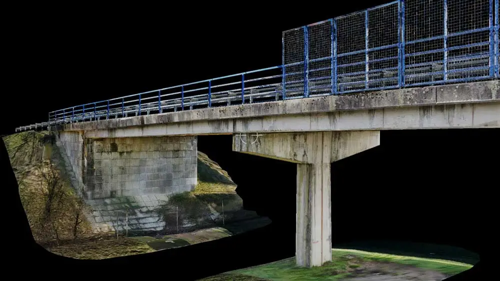
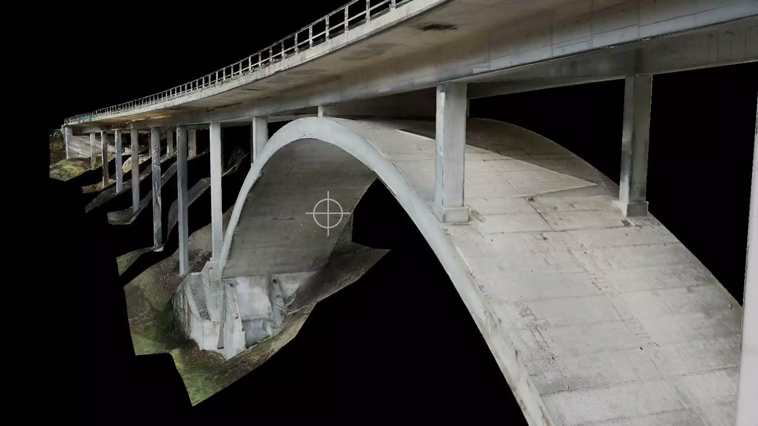
Digital twins are created by using measurements, recordings, and interpretations of photographic patterns or images: photogrammetry – to build an accurate picture of the real world. This is done by utilizing all the available data about a specific object or process and then making an accurate representation of it in the digital environment. This digital replica – or twin – can then be used to monitor and analyze the performance of a system or process over time.
The digital twin can be generated from different sources, including sensors, 3D models, and data from databases. The generated model can then be used to simulate operational scenarios for testing purposes before they happen in the real world.
Digital twins: Key to sustainable infrastructure inspection
In the context of infrastructure, digital twins can be invaluable when inspecting, planning, and assisting maintenance activities of an infrastructure asset. The methodology allows for detailed, remote inspection through georeferencing to detect, classify, and document damages more accurately and efficiently than previously possible. As a result of the ability to perform virtual manual work, digital twins are key in promoting safety and efficiency as inspection capabilities are enhanced technologically and fewer resources are required on site.
These benefits are key in creating the infrastructure inspection of the future. This kind of inspection needs to be more sustainable than current practices allow for. This goes well beyond eco-friendliness. Given the scale of the task of inspecting existing infrastructure assets more efficiently while also planning and building out new infrastructure, sustainable effectively means better planned resources, saved time, predicting repairs earlier in the life of an asset and safely extending the lifecycle of an asset.

How STRUCINSPECT uses digital twin technology for inspection
It all starts with data. And when it comes to digital inspections with STRUCINSPECT, this data comes in the form of high-quality images. Building inspectors and asset owners can either acquire these images themselves or request and commission support from data capturer experts for image acquisition via the STRUCINSPECT hub.
Next, when creating a digital twin from these images, the STRUCINSPECT platform enables the selection of different levels of sophistication to manipulate and work with these images. The basic version allows users to create structures and enables them to easily upload, rate and manage damages via an ‘Images to 3D model’ function.
The premium version goes further and includes the creation of a high-resolution textured 3D digital twin. This virtual representation of the physical asset is so accurate that it allows for remote virtual manual inspection and 3D damage control. Also, within the premium version the creation of an IFC-compliant BIM model at the selected Level of Detail (LOD) is possible.
On the back of 3D models, damage is detected, which can then be classified and documented more accurately and efficiently than previously possible by using Artificial Intelligence support. With the help of this AI-assisted methodology, the detected damage on the original 2D images and the georeferenced digital twin 3D images is assigned and documented with its own unique identification number. All damages, along with their unique identification number, are then also georeferenced on the 3D digital twin. This enables the most accurate possible remote digital inspection possible – all on the STRUCINSPECT hub.
STRUCINSPECT has put this methodology to successful use across various projects, inspecting tunnels, bridges, underpasses, canals, and more. We believe digital twin technology is far more than a buzzword. We believe it is a key component of the successful, sustainable, and safe future of infrastructure lifecycle management.

